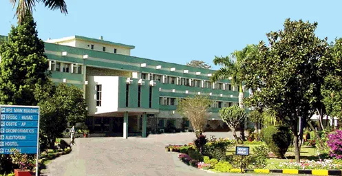
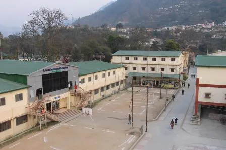
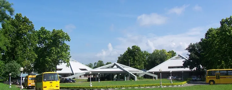
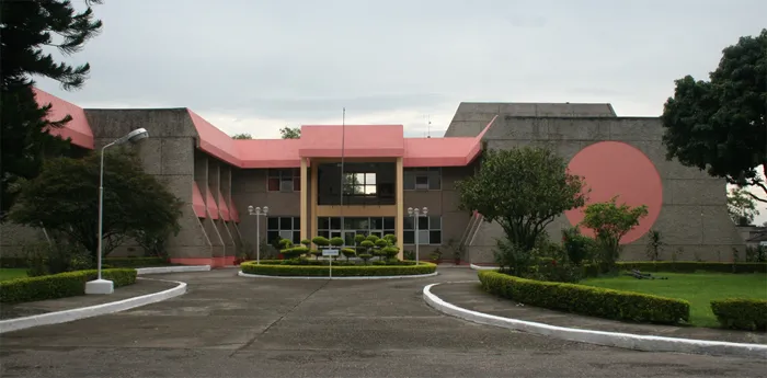
The Indian Institute of Remote Sensing is the training and education arm of the Indian Department of Space. IIRS - Indian Institute of Remote Sensing is located in Dehradun Uttarakhand, the institute offers a variety of courses in Remote sensing and Geographic Information Systems (GIS), ranging in length from one week to two years.
The main focus of the IIRS is training and education in the field of geoinformatics. Technology and applications of Remote Sensing, GIS and GPS are taught in the form of training and education at various levels (decision making level to working level or fresh post graduate level).
Main courses can be categorized as Educational Courses
- M. Tech in Remote Sensing and GIS (Mapping and Monitoring)
- Master's in Science, awarded by ITC, Netherlands in Geoinformatics
Training Courses at IIRS
- Post Graduate Diploma (10 month) in Agriculture & Soils, Forestry & Ecology, Geosciences, Marine Sciences, Human Settlement Analysis, Water Resources, Digital Photogrammetry, Geoinformetics, Geo Hazards
- Certificate Courses ( 4 month) in Basic Photogrammetry & Remote Sensing, GIS in Geosciences, Land Information System, GIS in Soils & Landuse Planning, GIS in Water Resources Management, GIS in Coastal Zone Management, GIS in Forest Management, Geo-Hazards
Technical Staff Officer (TSO) takes care of all student related queries and admission procedures. Students desiring admission into IIRS or want to enquire about various courses running at IIRS can contact at the address below:
