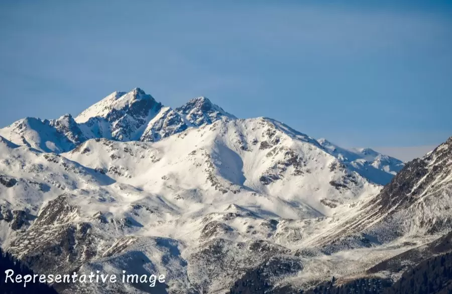
Tiprabamak Glacier in Ghangaria
The Tiprabamak glacier coordinates between 30°43'18"N and 79°39'54"E. The melted ice water of the Tiprabamak glacier and Ratanban glacier emerges from the single ice cave at the snout of Tiprabamak. The surface of the glacier is dominated by heavy deposits of debris.
The best time to hike on the majestic Tiprabamak Glacier is from the middle of June to the middle of October.
Location & How to Reach Tiprabamak Glacier
Tiprabamak Glacier is easily approachable from Joshimath-Badrinath road, which will take you to Govind Ghat. Upon reaching Govind Ghat, the hikers must follow an 18 km bridle path which runs via Bhiundhar village up to Ghangaria.
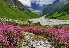
From there a 4 km will lead you to the famous Valley of Flowers, at the foothills of the Kagbhusndi mountain ranges. Ghangaria is the only place where the hikers can set up their camps while visiting Tiprabamak Glacier.
Read How to Reach guide for Ghangaria.
What is Tiprabamak Glacier famous for?
Tiprabamak Glacier is popular place for following activities/ interests - Glaciers, Trekking.
