Panchachuli Peaks in Munsiyari
About Panchachuli Peaks
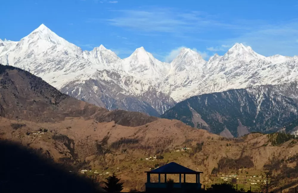
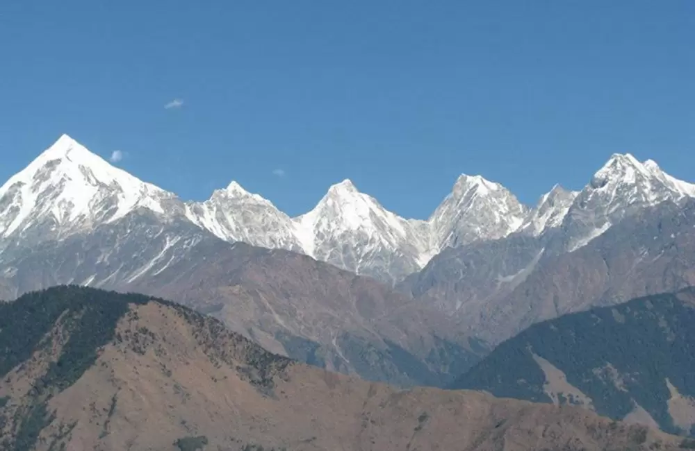
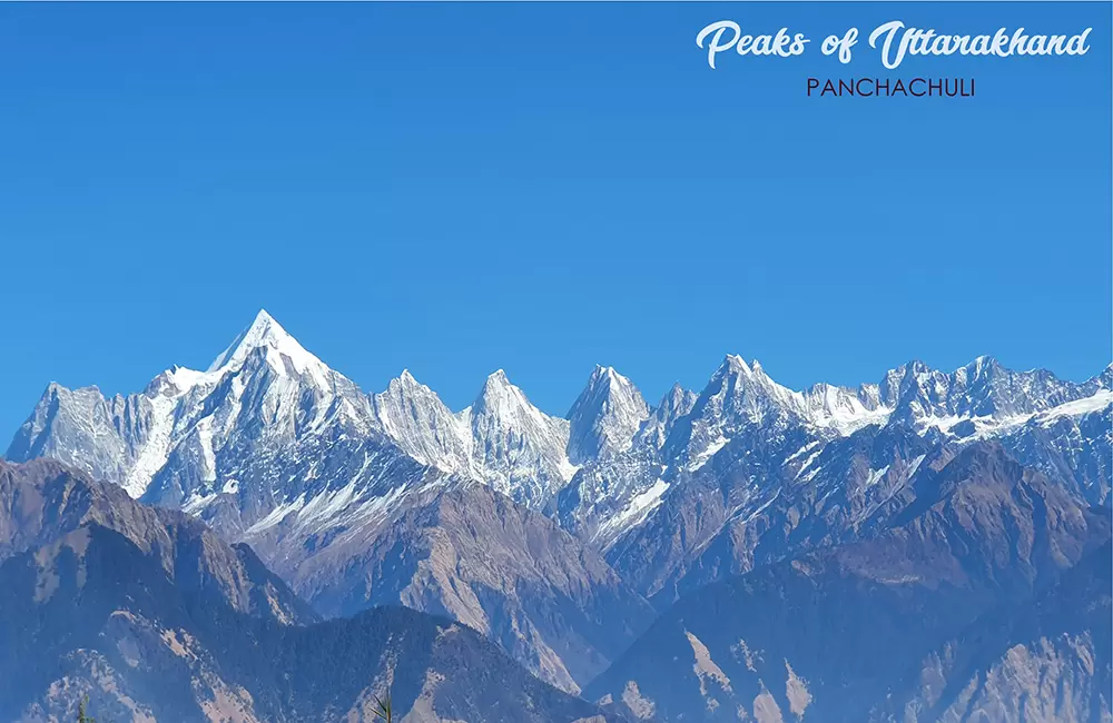
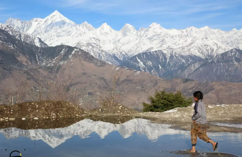
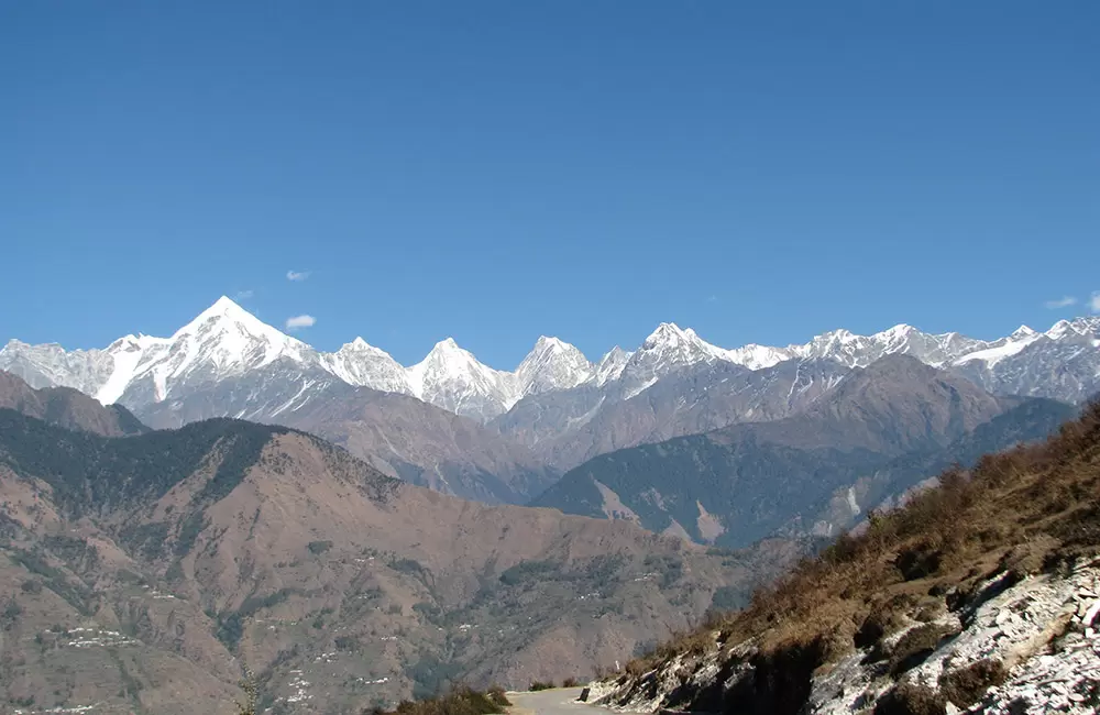
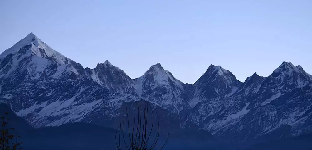
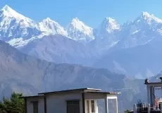
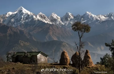
The five peaks on the Panchchuli massif are numbered from northwest to southeast. The highest peak is Panchchuli II, which was first scaled by an Indo-Tibetan Border Police expedition, led by Mahendra Singh, on 26 May 1973.
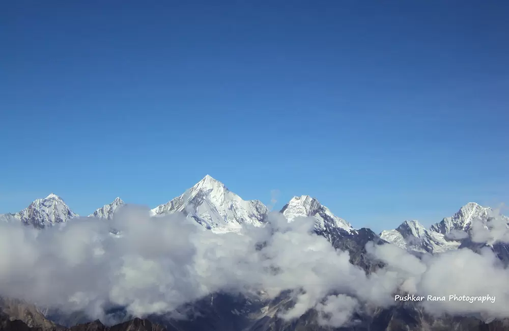
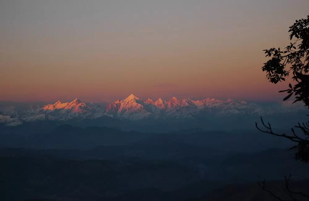
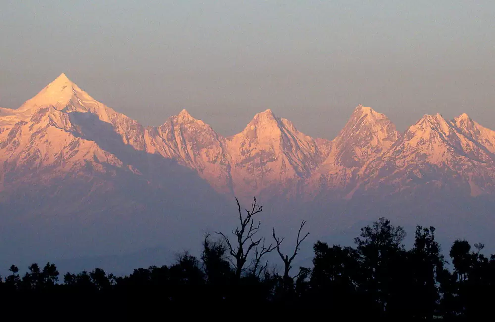
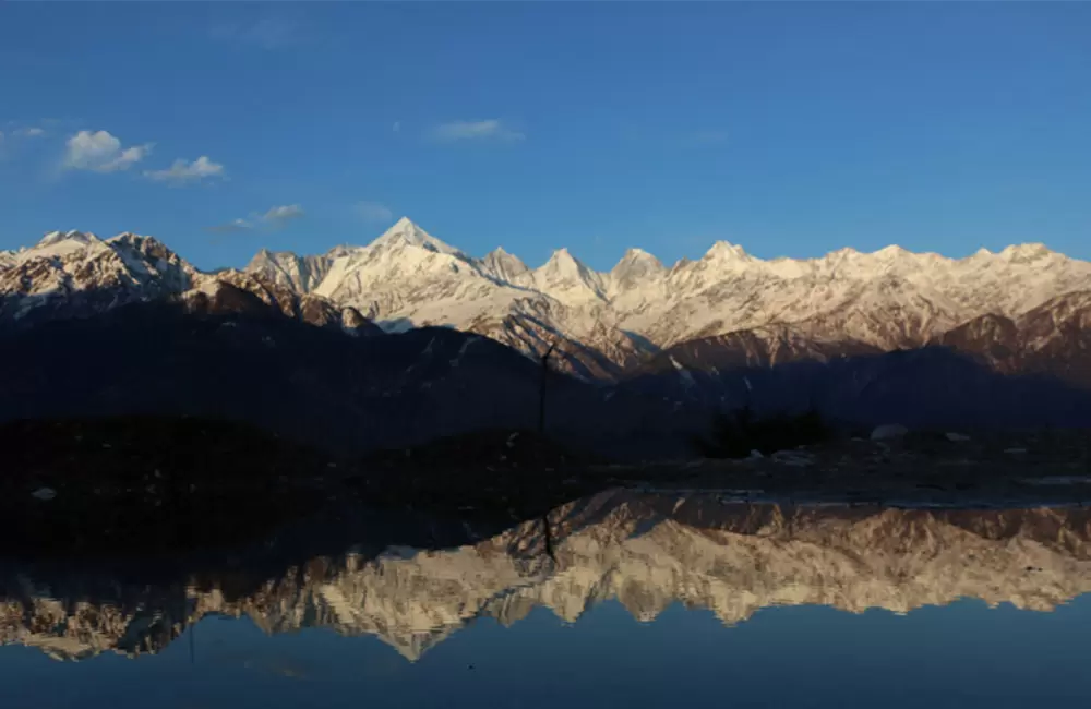
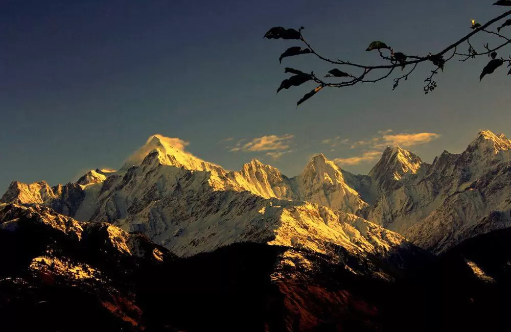
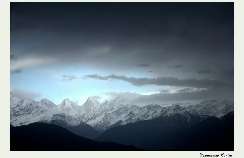
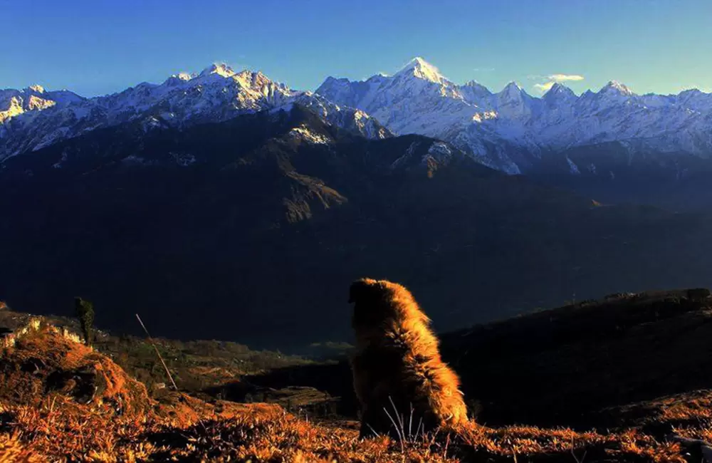
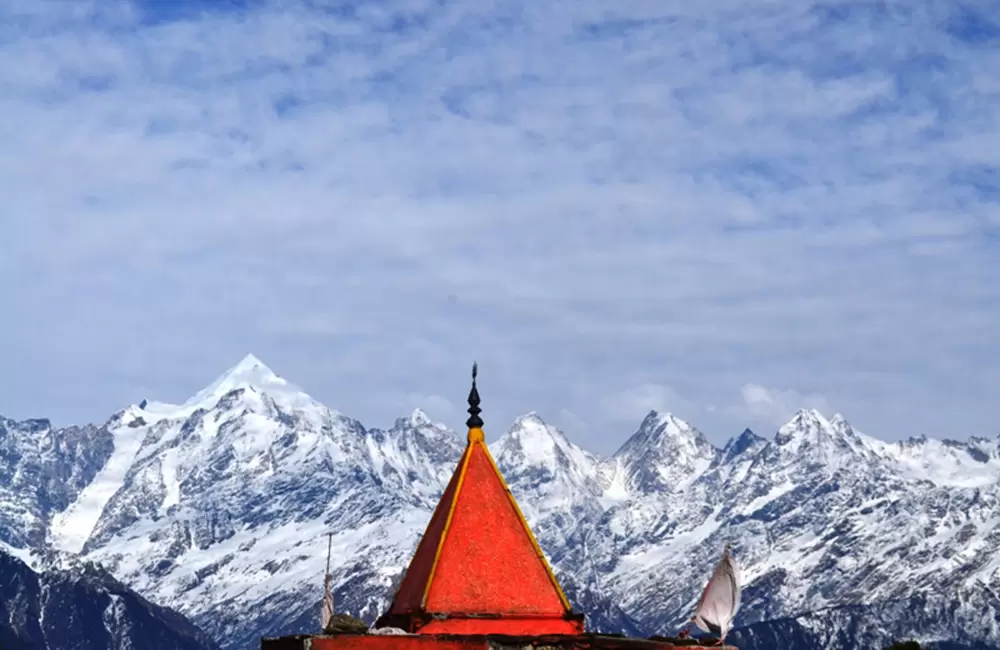
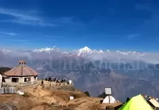
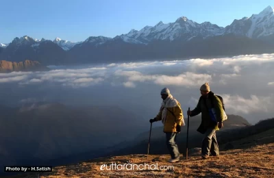
The Panchachuli peaks are the most visible from various hill stations of Kumaon region. From Munsiyari, You can experience a spectacular sunrise in the morning and sometimes a magnificient moonrise just after sunset.
Legend about Panchchuli
It is believed that the legendary Pandavas of Mahabharat, cooked their last meal before proceeding towards heavenly abode. Chuli means Chulha or cooking hearths, thus the group of 5 peaks named as Panchachuli.
Five peaks of Pancha Chuli
- Panchchuli-1 (6355 mts): The first ascent of this peak was done by Indo-Tibet Border Police (ITBP) team in 1972, via Uttari Balati glacier, led by Hukam Singh. The coordinates of this peak are Latitude 30°13'12" Longitude 80° 25'12".
- Panchchuli-2 (6,904 m): This is the highest peak in the group. It was first climbed successfully by an Indo-Tibetan Border Police team, led by Mahendra Singh, on 26 May 1973. They climbed from the Balati plateau and via the southwest ridge to the summit. The coordinates of the peak are Latitude 30°12'51" Longitude 80°25'39".
- Panchchuli-3 (6,312 m): This peak is climbed successfully in 2001 through south eastern ridge. The coordinates of this peak are Latitude 30°12'00" Longitude 80°26'24".
- Panchchuli-4 (6,334 m): The first ascent of this peak was made in 1995 by a New Zealand expedition led by John Nankervis. The expedition members who summited were; John Nankervis (Wellington), Peter Cammell (Auckland), John Cocks (Dunedin), and Nick Shearer (Oamaru). Peter Platts (Christchurch) assisted the expedition as far as camp 2. The coordinates of this peak are Latitude 30°11'24" Longitude 80°27'00".
- Panchchuli-5 (6,437 m): The first ascent of this peak was made in 1992 by an Indo-British team jointly led by Chris Bonington and Harish Kapadia by the south ridge. The coordinates of this peak are Latitude 30°10'48" Longitude 80°28'12".
How to reach PanchChuli
Location: The Panchachuli group of peaks is located around 138 km from Pithoragarh on the Gori Ganga-Lassar Yankti divide.
Eastern approach: via the Sona Glacier and Meola Glacier.
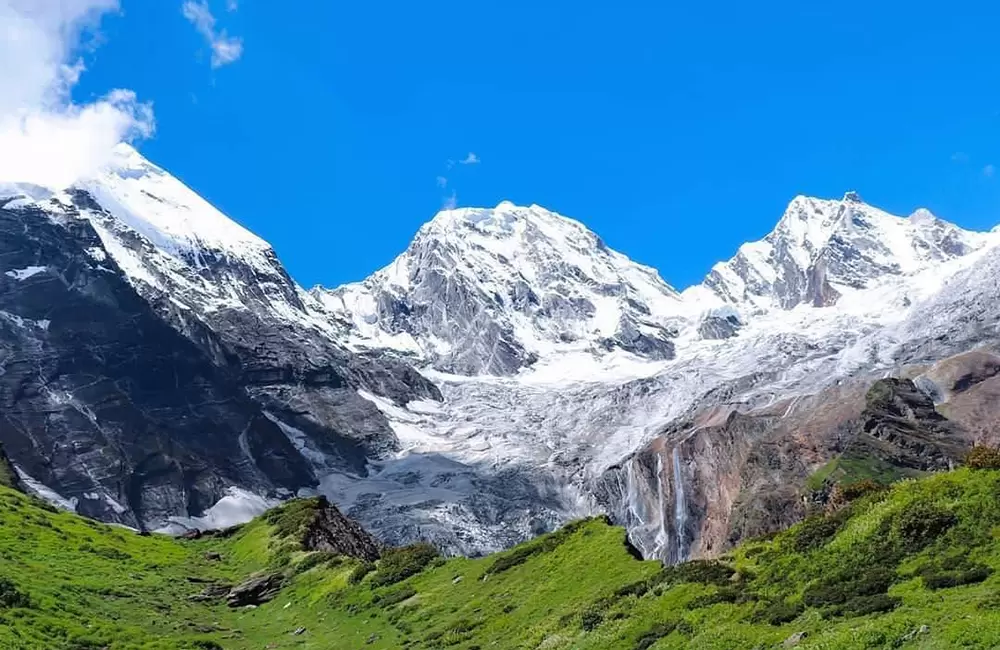
Western approach: through the Uttari Balati Glacier via Balati Plateau.
Location of Panchachuli Peaks
Panchachuli Peaks is located in Kumaon Himalayas ( near Munsiyari).
What is Panchachuli Peaks famous for?
Panchachuli Peaks is popular place for following activities/ interests - Peaks and Mountains.
