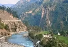
Chhipla Kedar Trekking Guide
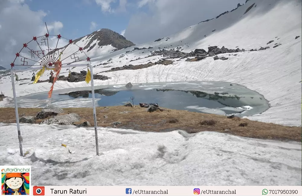
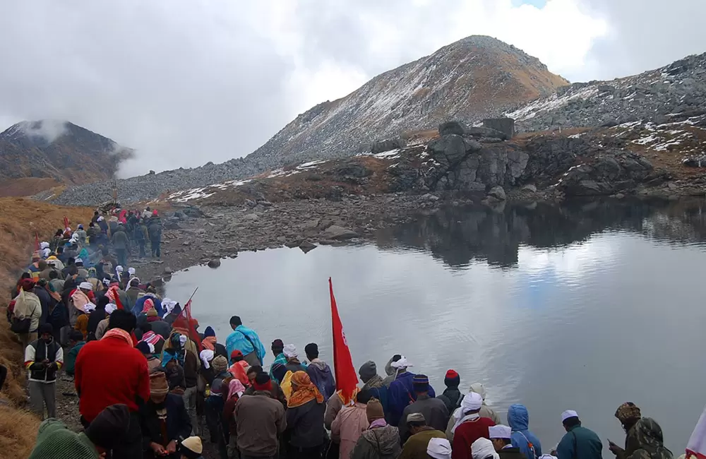
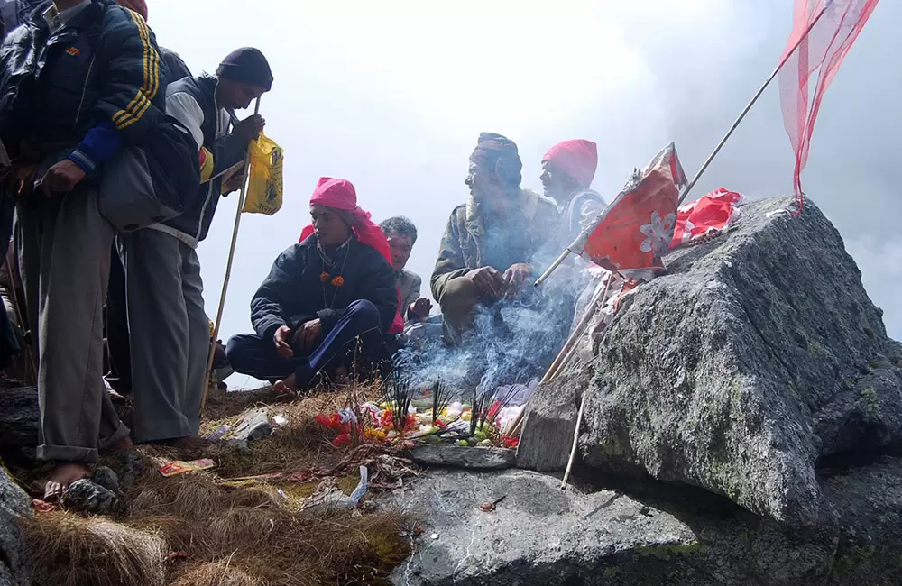
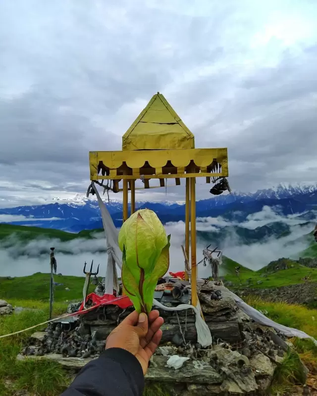
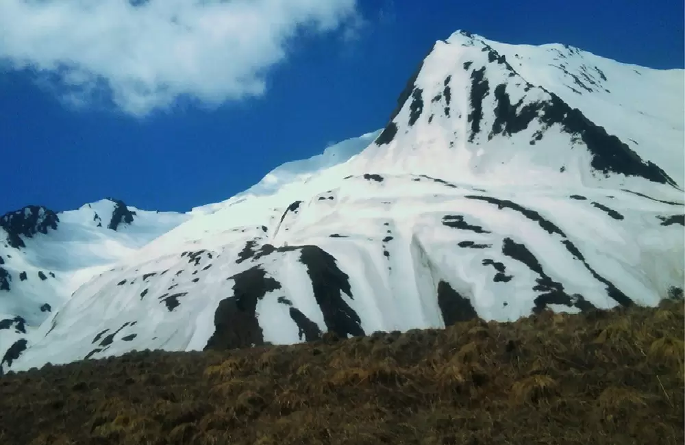
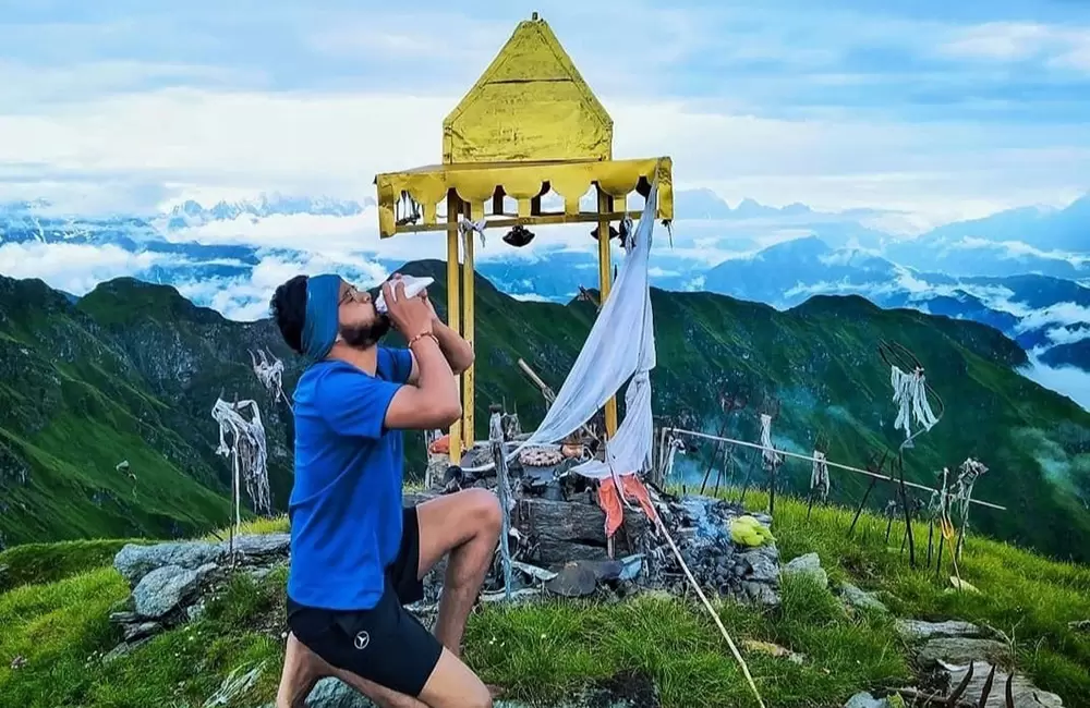
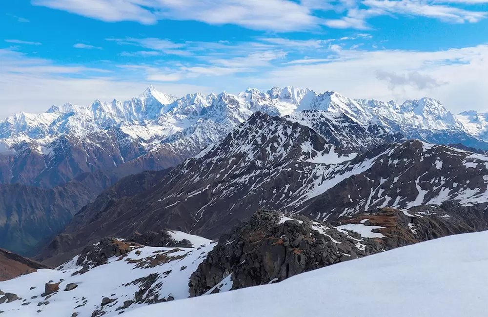
This trek of Chipla Kedar offers picturesque view of snow-clad Himalayas. The main attraction of this trek is Chiplakund (Chipla lake) at an altitude of 4876 mts (16,000 ft). As per Hindu mythology, it was known as 'Gupt Kailash' (means hidden Kailash) in the past. Every two years people from around 40 villages gather here to worship, and this continues for 5 days.
This trail is good for wildlife and bird photography. You can see animals and birds like the Musk deer, Thar, Bharal (Blue Sheep), Snow leopard, Wild Goat, Yellow Throated Marten, Pika, Monal (Himalayan peasant ), Khaleej pheasant , Western Tragopan, Griffon, Spotted Dove, Rock pigeon and many more.
Chhipla Kedar Religious Event
The dhami burha or bonia (folk priest) finalizes the dates of the jaat (journey), in which localities of nearby 40 villages take part. With folk drums, bhankaras (metallic pipe instrument) and neja (the flag of red cloth pieces collected from all the families of the villages) the jaat goes to Barmano, which is 6 Kms from Khela.
Suggested Trekking Itinerary for Chipla Kedar Trek via Dharchula
Day 1: Haldwani to Dharchula
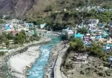
Arrive at Haldwani / Kathgodam by overnight train/bus. After breakfast drive to Dharchula via many scenic places in Kumaon Region. Enroute visit Swami Narayan Ashram at Narayan Nagar (The Ashram was established by a hermit and a social worker Narayan Swami ji. The ashram survives through donations from various institutions and individuals). Overnight stay in Hotel at Dharchula, here the tourists are briefed about the Chiplakedar trek.
Day 2: Dharchula - Tawaghat (Drive: 19 kms) - Bunga (Trek: 5 kms)
After breakfast drive to Tawaghat (19 kms). From there start the trek of 5 kms to Bunga (camping ground) en-route village Khela. Overnight camping in Bunga Village.
Day 3: Bunga to Pikhu (Trek: 10 kms)
After breakfast to trek 10 kms to Pinkhu (Tilargarhi) at an altitude of 12,000 ft. Overnight stay at camps.
Day 4: Pinkhu - Talagarh (Trek: 8 kms)
After breakfast trek 8 kms to Talagarh at an altitude of 14,000 ft. Enroute visit Brahmkund (12,500 ft. known as residence of Lord Brahma, the State Flower of Uttarakhand 'BrahmaKamal' is found here). Overnight stay at camps in Talagarh.
Day 5: Talagarh - Pataudkund (Trek: 10 kms)
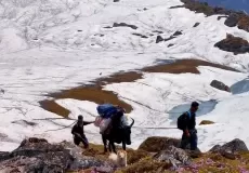
After breakfast trek 10 kms to reach Pataudkund located at an altitude of 16,000 ft. Enroute you can explore Sindwari (15,500 ft.), ChiplaKund (14,500 ft. known for rich herbs), Kakraulkund (15,000 ft. the land of Harchan and Sirchan Dev), Jauly (15,500 ft. known for sitting of all lords). Pataudkund is a lake, and known as residence of lord Patau Devta. Overnight stay in camps.
Day 6: Pataudkund - Girchi (Trek: 12 kms)
Day 7: Girchi - Durku (Trek: 10 kms)
After breakfast, trek 10 kms to reach Duku enroute explore Tilandili (known for paying homage to ancestors). The trek gives you an opportunity to explore the dense forests (Himalayan wild animals are found here). Camp overnight at Duku.
Day 8: Duku - Haldwani
After breakfast drive to Haldwani Via Pithoragarh. Pithoragarh is known a miniature Kashmir, its a beautiful Valley, and District headquarter. Enroute Haldwani, if time permits you can visit Bhimtal, Nainital, Ramgarh, Mukteshwar. Tour concludes on reaching Haldwani.
Tips: You can also extend your trip and explore Jim Corbett National Park and enjoy Jungle Safari in Corbett.
Location and How to reach Chipla Kedar
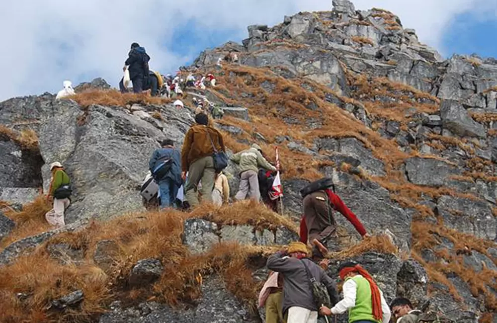
Chhipla Jaat is situated in the heart land of Kali and Gori rivers, south of Panchachuli mountains. The highest point of this mountain-Najurikund (4497m) - is the seat of Chhipla Kedar. The people of around 20 villages of Dharchula and Gorikhal regions reach Kedardwe and Najurikote every third year on Bhado Purnmasi. The principal yatra starts from village Khela near Tawaghat. It goes through thick forests, rocky lands and Bugyals.
Road and Trek Route: Haldwani - Almora - Berinag - Didihat - Dharchula - Brahmkund - Chiplakote - Narayan Ashram - Dharchula - Pithoragarh - Bhimtal - Haldwani
Chipla Kedar Trekking Route via Munsiyari (Short Itinerary)
Day 1: Arrive Munsyari via Haldwani
Day 2: Munsyari - Baram Village
Day 3: Baram Village – Kanar Village (Trek: 14 kms)
Day 4: Kanar village – Bheman camp site (Trek: 10 kms)
Day 5: Bheman camp – Cherthi camp (Trek: 10 kms)
Day 6: Cherthi camp – Najarkot Top - Cherthi Camp
Day 7: Cherthi camp – Chipla Kedar Temple - Chiplakund - Other lakes and medows
Day 8: Cherthi camp – Kanar village (Trek: 20 kms)
Day 9: Kanar Village – Baram Village (Trek: 14 kms)
Day 10: Drive to Haldwani/Kathgodam
Chipla Kedar is also known was Chhipla Kedar, Chipla Kedar Dham, Chipla Kedar Yatra, chhiphla kedar
Chipla Kedar Trek Weather
Check out the Chipla Kedar Trek weather report for April
Chipla Kedar Trek Weather in April
The minimun and maximum temperature in April in Chipla Kedar Trek is 5°C and 20°C respectively. The weather is generally pleasant and clear in April and you would feel cold throughout the day. Light Woolen clothes are recommended for Chipla Kedar Trek in April.
What is Chipla Kedar Trek famous for?
Chipla Kedar Trek is famous among tourist as Trekking, Expedition, High Altitude Trek, Camping, Kumaon Trekking, High Altitude Lake.
Chipla Kedar Trek is recommended destination for Foreigners, Groups.
Chipla Kedar Trek is popular destination for following activities/ interests - Adventure, Camping, Lakes, Pilgrimage, Religious, Trekking.
