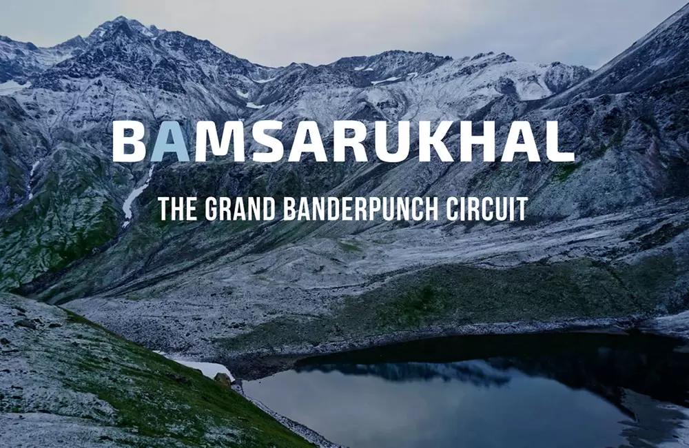
Bamsarukhal - The Grand Banderpoonch Circuit
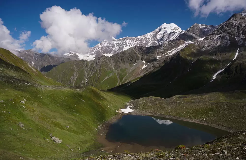
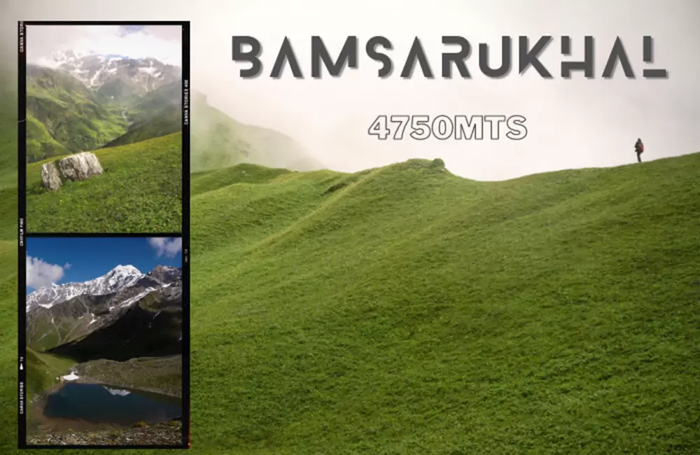
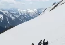
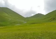
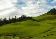
The region is known for its exquisite natural beauty with meadows, oaks and rhododendron trees and cascading rivulets which leaves trekkers mesmerized. Located at an altitude of 4600 meters, Bamsaru Khal Pass is easily one of the hidden gems for adventure lovers.
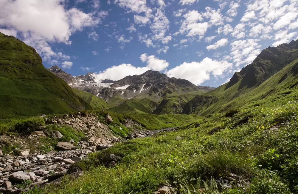
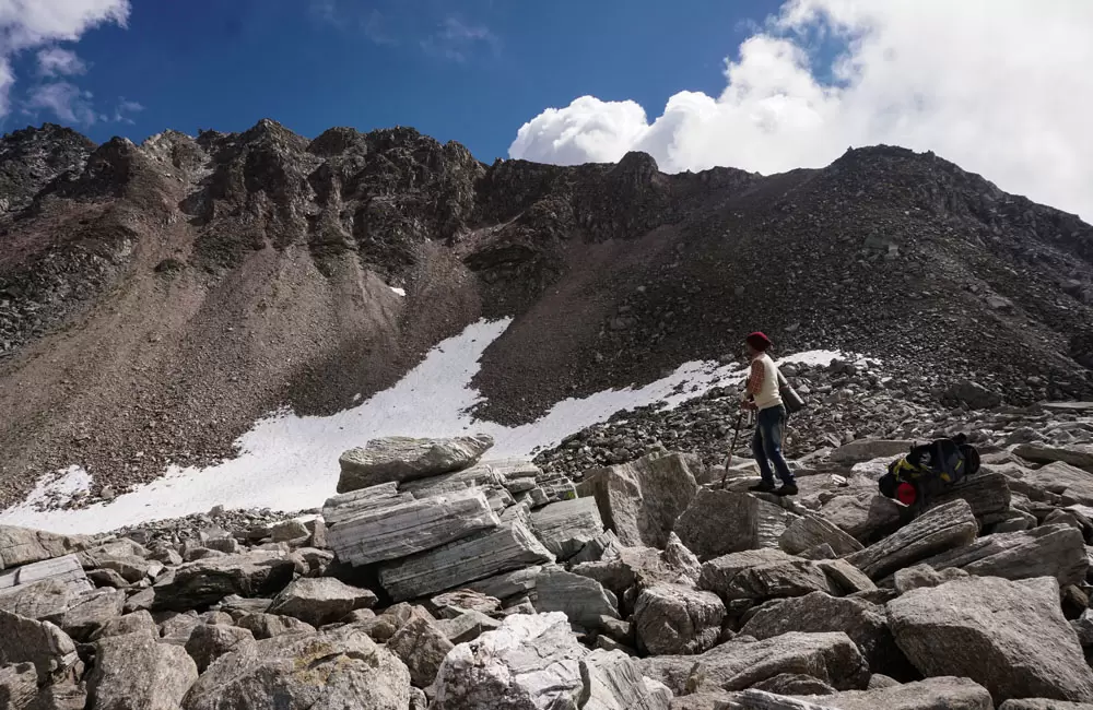
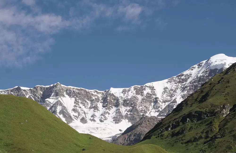
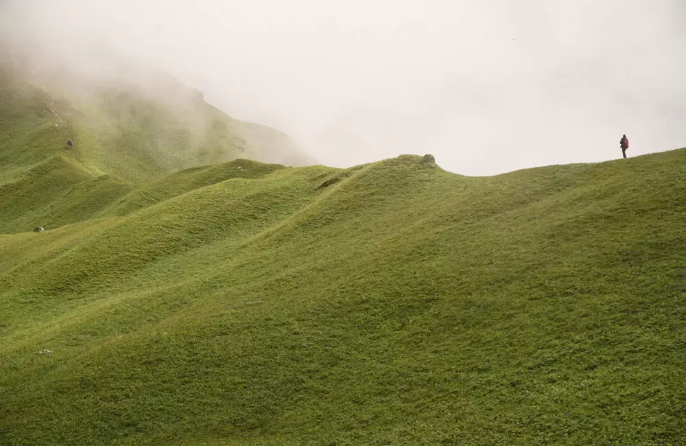
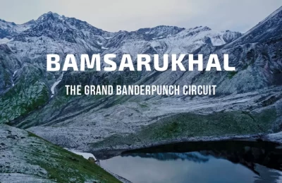
Bamsaru Khal Trek has a delightful trail with lush green meadows, lofty oaks, and rhododendron forests, plunging clear streams, and the peaks of Bandarpunch Mastiff, Black Peak, and peaks of Gangotri accompanying you as you advance further.
The route of Bamsaru Khal Trek is considered the ancient conjunction of Gangotri and Yamunotri. You can explore the entire Asi Ganga Valley and the upper stretches of River Hanuman Ganga towards Chayya Gadara Valley.
Best time to visit/trek to BamsaruKhal
The best time to visit Bamsaru Khal Pass is during the months of May, June, September, and October.
The summer months from May – June offers an ideal and safe condition for trekking all the while providing the best views. The post-monsoon months from September – October are cool and the freshness of the places can be felt throughout the trek.
Bamsaru Khal Trek Route
Rishikesh – Uttarkashi – Bhewra – Dodital – Darwa Top – Bingad – Bamsaru Base – Gidara Bugyal – Gujarhut – Dayara Bugyal – Uttarkashi – Rishikesh
Bamsaru Suggested Trek Itinerary (Detailed Trekking Plan) with Gidara and Dayara Bugyal
Day 1: Rishikesh – Uttarkashi (185 kms/6 hrs)
Leave Rishikesh early in the morning towards Uttarkashi located 6-hour drive away. The route to Uttarkashi meanders along with the Bhagirathi River coupled with the mesmerizing Himalayan landscape. Reach Uttarkashi by evening and check into the hotel or guesthouse for overnight stay.
Tip: If you start early, you can reach Sangamchatti and start trek to Agoda Village (6 kms), to reach there by evening. You can save 1 day in that case.
Day 2: Uttarkashi – Bhebra (Drive: 16 Kms, Trek: 8 Kms, Altitude: 2250 mts)
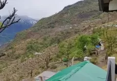
Leave Uttarkashi early and drive towards Bhevra (Bebra). The trekking trail is located 16 kms away from Uttarkashi and starts from Sangamchatti. A moderate 8 kms trek towards Agoda village and then a 2 km downhill trek to Bhevra campsite take trekkers through terraced fields, deodar forests and cascading river streams. Overnight stay in tents.
Day 3: Bhebra – Dodital (Trek: 15 kms/7 hrs, Altitude: 3100 mts)
The first 3-4 km from Bhebra Village follows a steep climb after which the trail follows a gradual climb till Dodital. The track crosses through beautiful views and the small settlement of Manjhi where you can rest to have tea and snacks. As you move further, the sight of Asi Ganga welcomes you and finally, you’ll reach the captivating emerald lake of Dodital.
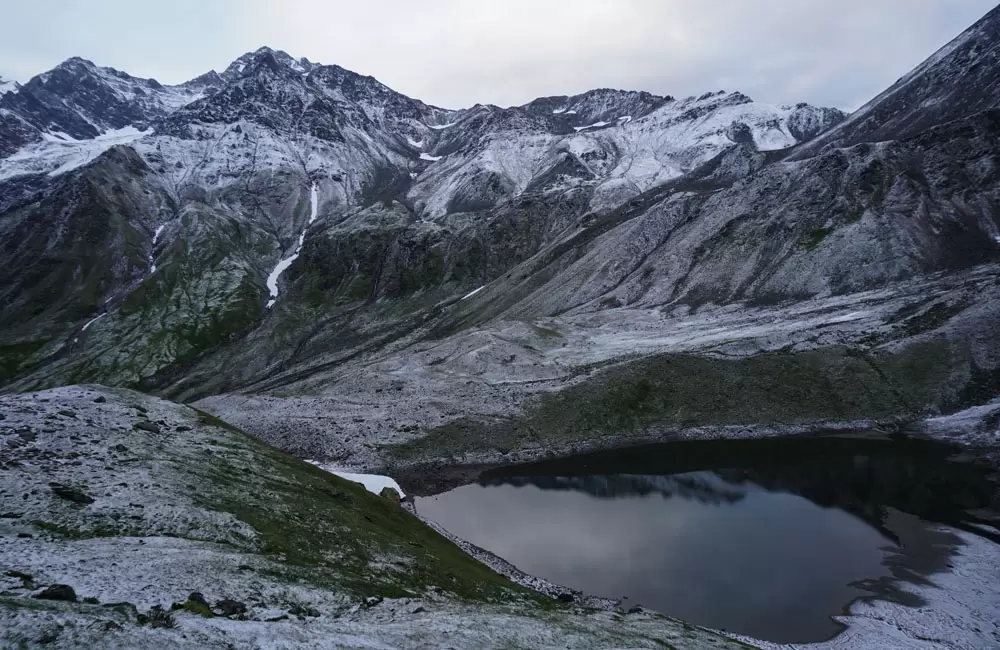
Surrounded by oak and rhododendron forests, Dodital won’t fail to charm you with its alluring environment and spiritual prowess. The lake is home to the rare Himalayan trouts, the name “Dodi” meaning the same in the local language. There is a temple dedicated to Lord Ganesha at one end of the lake.
Day 4: Dodital – Darwa Top (6 kms/8 hrs, Altitude: 4200 mts)
Leave Dodital for Darwa Top via Dharwa Pass. The trekking route consists of steep 6 km uphill trek over Dharwa Pass, then a gentle 1 km downhill trek. Overnight stay at camps at Darwa Top meadow overlooking the spectacular Bandarpoonch peak, Swargarohini, Draupadi ka Danda, Deonli, and Srikantha mountain peaks. Darwa Pass serves as the basin connecting Ganga and Yamuna river valleys.
Day 5: Dharwa Top – Bingad (9 kms/7 hrs)
Leave for Bingad from Dharwa Top early morning which is a 9 kms trek and will take around 7-8 hours. The trek gets a bit difficult due to steep 3-km ascend over high ridge followed by 5 kms uphill and downhill trek. Overnight stay in tents.
Day 6: Bingad – Bamsaru Base (9 kms/7 hrs, Altitude: 4300 mts)
The 9 kms trek will involve treading along the Bingad River towards Bamsaru Base. The trail offers a panoramic view of the stunning landscape including cascading rivulets, verdant meadow, and valleys. Trekkers will pass through Deodamini, a higher meadow closer to the main summit of Bandarpunchh. Overnight stay in tents.
Day 7: Bamsaru Base – Gidara Bugyal (12 kms/8hrs)
The trek towards Gidara Bugyal starts with a 4-km ascent via Bamsaru Pass overlooking the spectacular Gangotri and Bundarpunchh mountain range. After a 4-km descent and another 4-km ascent, one reaches Gidara Bugyal. Overnight stay in tents.
Day 8: Gidara Bugyal – Gujarhut (8 kms/6hrs)
The 8-km trek from Gadara Bugyal to Gujarhut is of moderate difficulty and takes trekkers along the mountain ridge overlooking the beautiful valleys and meadows down below. The uninterrupted view of slow-clad Mount Thalaysagar is a breathtaking experience. Overnight stay in tents.
Day 9: Gujarhut – Dayara Bugyal (7 kms/5hr)
Leave early morning towards Dayara Bugyal which consists of a moderate 3-km uphill trek followed by descending 4km. Overnight stay in the tents at Dayara Bugyal.
Day 10: Dayara Bugyal – Uttarkashi
Leave Dayara Bugyal for Uttarkashi early morning. A 10-km downhill trek through forests of oak, pine and deodar trees takes trekkers to Barsu (via Barnala) from where a 42-km drive ends up at Uttarkashi. Check into the hotel or guesthouse for overnight stay.
Day 11: Uttarkashi – Rishikesh (185 kms/6 hrs)
Leave Uttarkashi early in the morning towards Rishikesh located at a distance of 185 kms away. Reach Rishikesh by evening and check into the hotel or guesthouse for overnight stay.
Another Trekking Route of Bamsaru Khal/Pass Trek
Day 1: Rishikesh – Uttarkashi (185 kms/6 hrs)
Day 2: Uttarkashi – Bewara (Drive: 22 Kms, Trek: 5 Kms)
Day 3: Bewara – Dodital (Trek: 15 kms/7 hrs)
Day 4: Dodital – Darwa Top (6 kms/8 hrs)
Day 5: Darwa Top – Bingad (9 kms/7 hrs)
Day 6: Bingad – Kanatal - Deodamini (12 km/5-6hrs)
Day 7: Kanatal - Bamsaru Khal - Bamsaru base (10 km/5-6hrs)
Day 8: Bamsaru Base – Chupkantidhar – Songad
Day 9: Songad – Sukki Top – Harsil
Day 10: Harsil - Uttarkashi - Dehradun/Haridwar
Bamsaru Khal Pass Trek Guidelines
Bamsaru Khal Pass Trek is a difficult trek with a trekking distance of about 78 km and a duration of at least 10 days. Hence, it is essential that you check your fitness level, skill and experience in trekking before undertaking the trek.
- Before undertaking the trek, practice regular exercise, strength training, and aerobics at least for a month so as to improve your stamina and endurance throughout the trek.
- Start trekking easy trails with a relatively lesser amount of days needed to travel and gradually increase your trekking distance and altitude level.
- Opt for Bamsaru Khal Pass trek after you are proficient in other moderate high altitude treks.
- Once you have taken care of the foundational requirements, you can opt for Bamsaru Khal Trek. Do not forget to check out and carry all the trekking gears and essentials for the trek. Along with the essentials, it is important that you keep a constant vigil on your health conditions before and throughout the trek. Below are some guidelines regarding monitoring your health conditions while trekking. Ensure that you don’t overlook them.
- Drink a lot of water.
- Do not overexert yourself. Rest frequently as you gain altitude.
- Pay attention to Attitude Sickness and Acute Mountain Sickness (AMS) and prepare for it in advance. Altitude sickness is a common phenomenon when you climb high altitudes. Pay attention to symptoms of altitude sickness like breathlessness, headaches, and nose bleeding and take rest. Practice deep breathing and carry a box of medicines which may come handy.
- A much serious condition is AMS where you’ll feel nausea, cough, disorientation, and severe headaches. Talk to your guide in case of AMS and take precautionary actions.
Bamsaru Khal Trek Weather
Check out the Bamsaru Khal Trek weather report for April
Bamsaru Khal Trek Weather in April
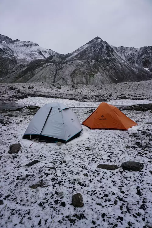
The minimun and maximum temperature in April in Bamsaru Khal Trek is -9°C and 10°C respectively. The weather is generally chances of snowfall in April and you would feel cold throughout the day. Heavy Woolen clothes are recommended for Bamsaru Khal Trek in April.
What is Bamsaru Khal Trek famous for?
Bamsaru Khal Trek is famous among tourist as Trekking, Expedition, High Altitude Trek, Camping, Garhwal Trekking, High Altitude Pass.
Bamsaru Khal Trek is popular destination for following activities/ interests - Adventure, High Altitude Mountain Pass, Trekking.
